Airborne Photography
For several years, we were contracted by LiDAR Services International to develop software to control their airborne LIDAR scanners, Fibre-Optic Gyroscopes, and Cameras. The software was developed using Java, LabVIEW, and Linux.
Dr. Heerema developed software to control all of the instrumentation, including camera operations, and directional control of a forward camera pod.

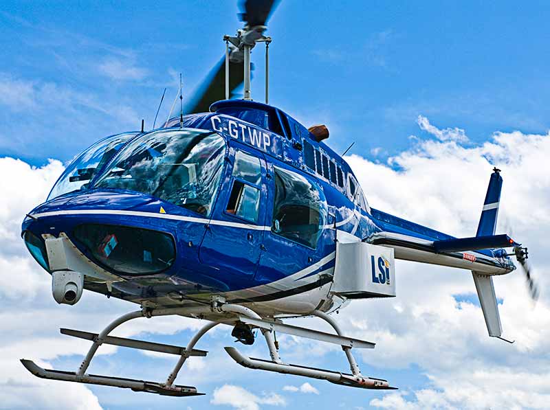
The motion-controlled camera ball near the nose of this helicopter contains a Canon 5D Mk II camera, plus an IIDC video camera. The larger instrument pod contains an infra-red scanning laser, and a Canon EOS 1D.

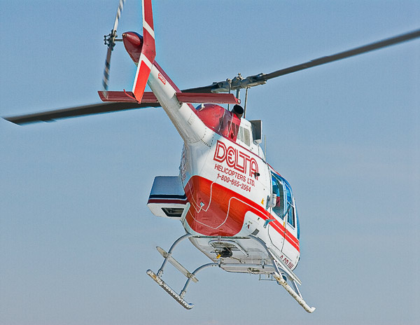
Another airborne photo mission.
